
This is the fourth article in a series about the anticipated effects of construction through downtown of the Ontario Line. Because the stations at Moss Park and Corktown are similar in their construction technique, I have grouped them together.
Both stations will be built as off-street using cut-and-cover rather than mining because the entire station site can be opened for access. Effects on pedestrians are less severe, and transit stops are undisturbed.
However, the scope of work is much greater at Corktown Station because this will be a Tunnel Boring Machine launch site. Not only will this see the excavation of the station itself, but the removal of “muck” from the TBMs as they progress west across the route.
Moss Park Station
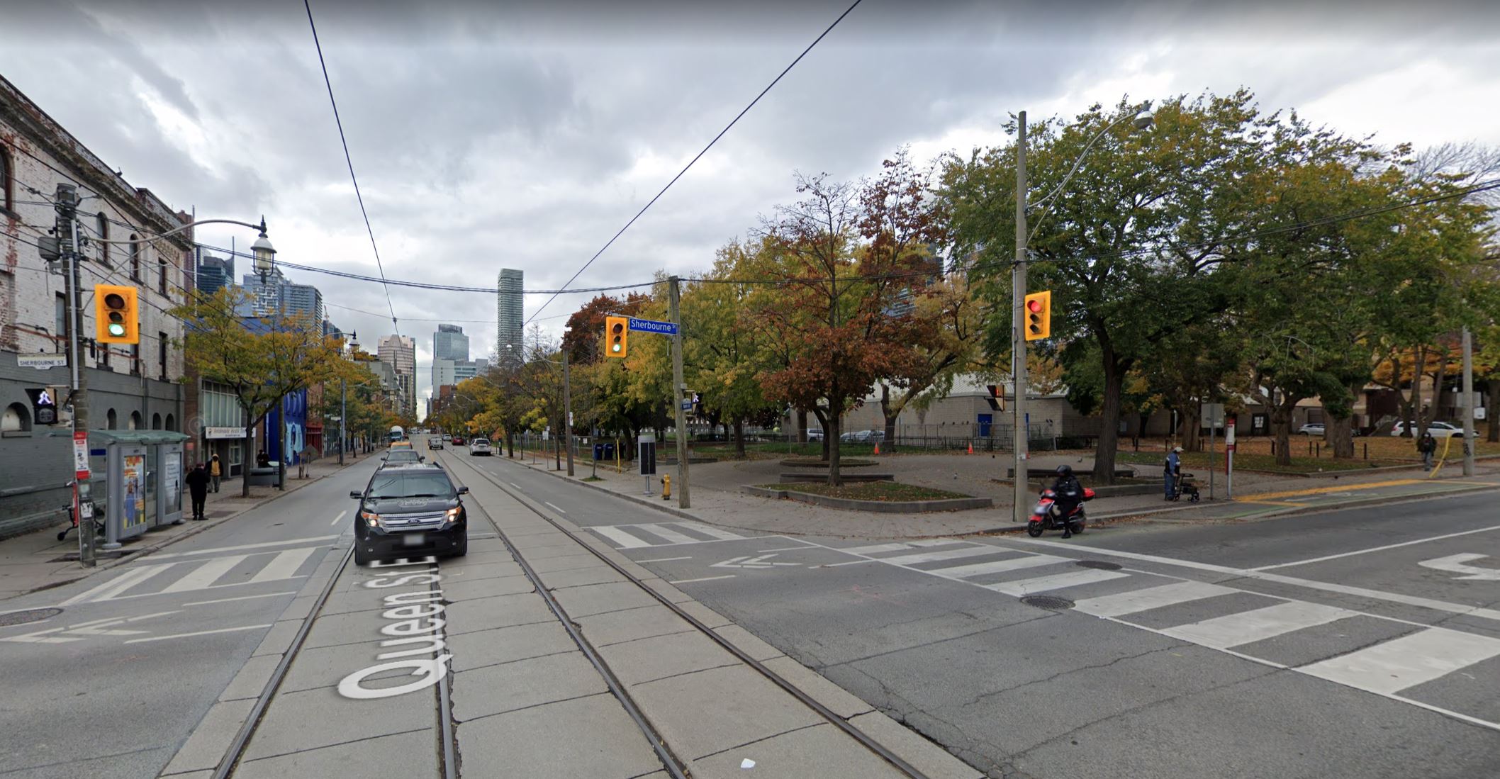
The Moss Park station will lie north of Queen Street west of Sherbourne under the park of the same name. There will only be one entrance building at the east end of the station as shown below. East of the station, the Ontario Line will curve south toward Corktown Station. Except for the station itself, all of this will be built a as a bored tunnel.
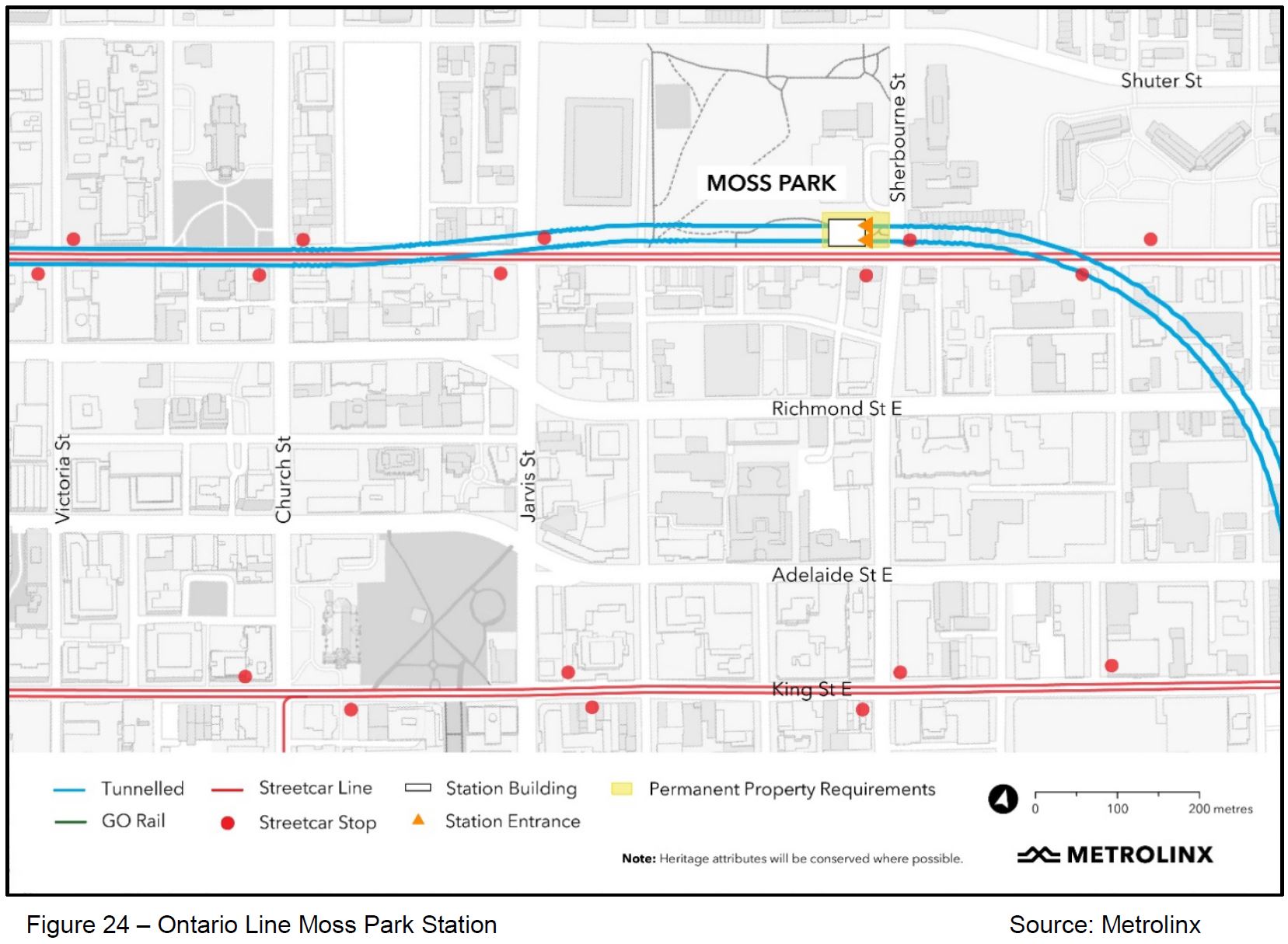
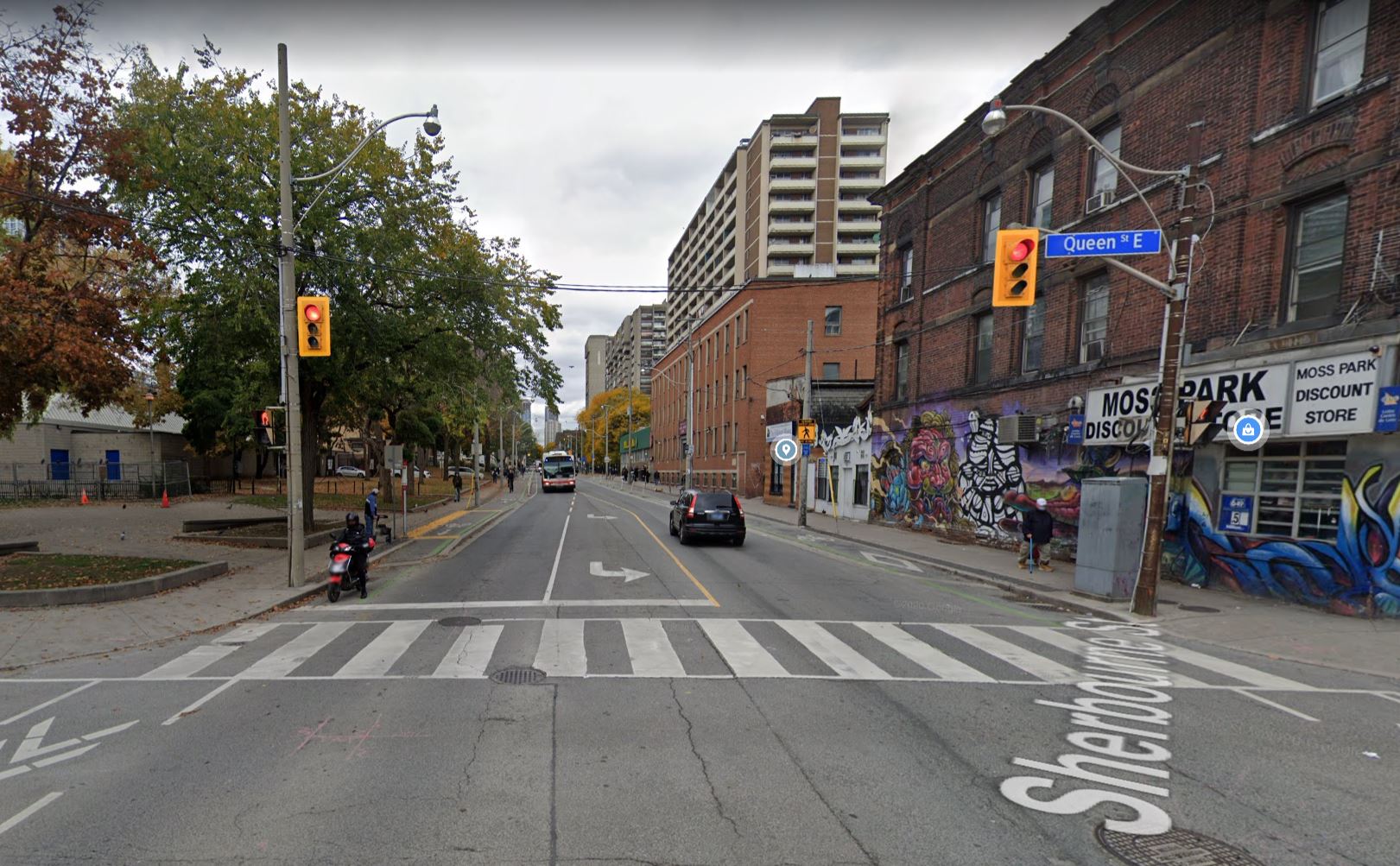
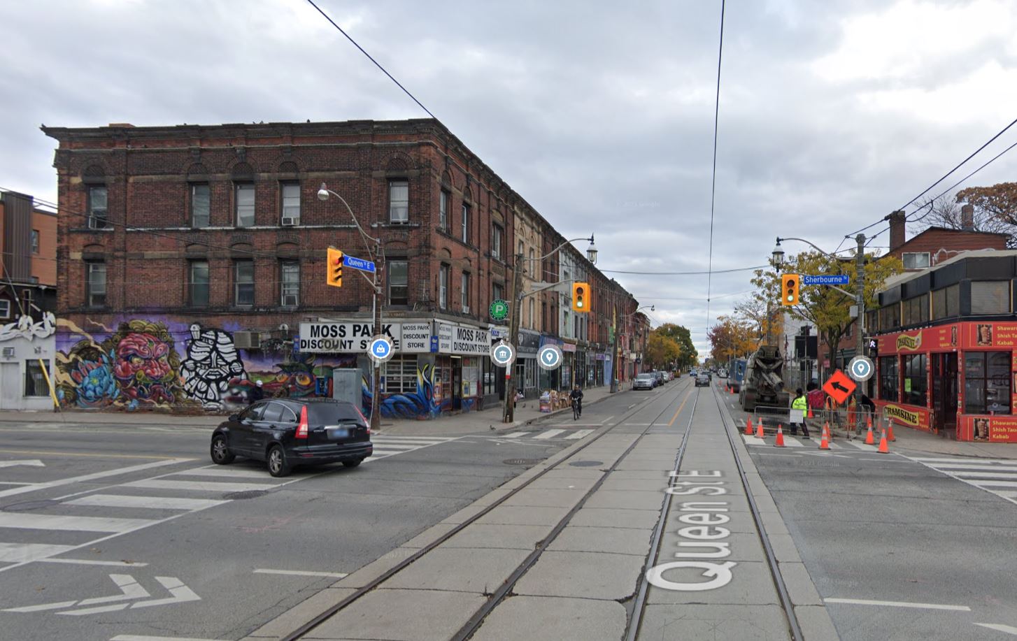
With off-street construction in an open area, there are fewer lane closures than at other sites. The north sidewalk of Queen Street west from Sherbourne to Moss Park Armoury will be closed, and pedestrians will use the north curb lane.
The map shows “Bike Path Closed” beside the construction area on the west side of Sherbourne, but there is no reference in the text to the shared bike lane on Sherbourne southbound.
Construction at this station will begin in July 2023, but the main structural work, including roadway restoration, is supposed to end in Fall 2027. However, a separate line in the report claims that the lane closures will not be undone until 2029. This could be an editing error as the 2029 restoration date is common to all stations.

The station will be located under the park on the north side of Queen. All of the trees now there will be removed, and the construction access will be along what is now the sidewalk. Pedestrians will be shifted into the curb lane and any westbound cyclists will have to deal with a shared traffic lane. The eastbound transit stop remains where it is.
On Sherbourne north of Queen no lane closings are planned and the transit stop will remain where it is. The status of the bike lane southbound is unclear (see above).
Looking east on Queen, this portion of the intersection is supposed to be untouched. The transit stop remains where it is. Similarly there are no changes planned for the south leg of the intersection.
Corktown Station
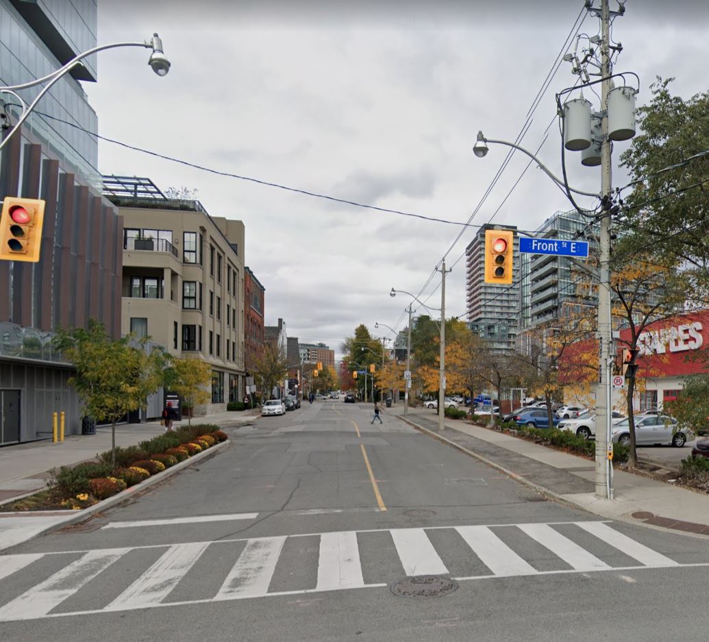
Corktown Station and the associated TBM launch site occupy much of two blocks southwest of King and Parliament Streets. The main entrance will face onto King and there will be an emergency exit facing onto Front Street. The site is also planned by Infrastructure Ontario to be a major “Transit Oriented Community”.
Any development on this site cannot begin until the TBM launch site and station area can be closed, and this likely means that construction of one type of another will beset this neighbourhood for over a decade.
Although the main tunneling work will head west, there is a short tunnel to the east to the point where the line will emerge to cross the Don River. This is shown in green (the portal) and pink (the bridge) below. An outstanding question is how this segment will actually be constructed as it is a rather short piece to use a TBM and then have to pick it up for the main journey west. Also, as the tunnel approaches the portal it will be too shallow for bored construction.
I asked Metrolinx about this situation (and another issue about the line) on November 25:
In the discussions of the Corktown Station area, much has focussed on the station site, but there are no details of the transitional section between the station and the portal and surface running section west of the Don River. Obviously some part of this will have to be built as cut-and-cover with much greater effect on the neighbourhood than bored tunnel. Where will this transition to cut-and-cover occur, or to put it another way, what will be the extent of surface disruption at the portal and some point west of it where the bored tunnel begins?
Metrolinx replied on December 3:
Hi Steve. Thanks for your questions. We don’t have any additional info to share at the moment but are always updating our blog, so stay tuned.
This is a rather odd answer both for its brevity and the fact that something as basic as how a section of the route will be built must have been decided some time ago. Why is this information not public?
For the record, the other question was about the status of Adelaide Street. Although Metrolinx did not deign to answer, the information I sought was included in the City’s report.

Relatively few street closures are planned for the Corktown site because the property is large and soon to be completely vacant. (Archeological investigations are underway now as this was the site of the First Parliament building of Upper Canada, and a First Nations site before.)
Note that in the map below “north” is to the left

The south curb lane of King Street will be closed from Berkeley east to the transit stop area at Parliament. For the early part of the project, pedestrians will have only the north sidewalk in this area.
The eastbound curb lane on King Street East, between Berkeley Street and a point 30 metres west of Parliament Street, will be temporarily closed from September 1, 2022 to November 30, 2029. A temporary 2.1 metres wide pedestrian walkway will be provided within the closed portion of the eastbound curb lane, from October 1, 2024 to March 31, 2029.
The alternate pedestrian path is not shown on the map above.

Berkeley Street from Front to King has a generous width for its planned two lanes, and it will not change.
The construction site will extend onto the southbound sidewalk on Parliament opposite Derby Street, and pedestrians will be diverted into the curb lane. Only one southbound lane will be open for traffic.

As with Moss Park Station, there is conflicting information in the report about the date of restoration of normal lanes at street level. One point says that “exterior station work including roadway restoration” will occur from Fall 2026 to Fall 2027, while another says “Reopening of lane closures and public ROW” is not planned until mid 2029.
In my final installment about the Ontario Line downtown construction, I will turn to effects across the project including issues of haul routes for materials arriving at and removed from the station sites, traffic congestion projections and emergency services.

Isn’t there a fire code requirement for two exits for every station? I thought that was the motivation for TTCs second exit program at all existing stations.
Steve: Metrolinx has been asked about this a few times re Moss Park, and they claim they have worked out a scheme that complies with code. Although they have not shown a detailed layout, I think that there are two separate passageways and they open onto the street beside each other. Whether this meets the intent of the code, I don’t know.
LikeLike
From reading NFPA 130, the fire code for transit stations, myself recently, I can tell you that multiple entrances/exits are not required. The main evacuation requirement regards sizing of stairs/vertical circulation and an evacuation time of 4 minutes. For most old TTC stations, adding a new entrance is the best way to make sure everyone can get out in four minutes (when both trains have over 1000 people onboard). Also, multiple entrances make for faster processing of passengers boarding and alighting trains. For a new station, Metrolinx is probably okay provided they splurge sufficiently on wide stairs, multiple escalators, and elevators. Also lots of fare gates speed evacuation.
Steve: For a fire exit you cannot count on escalators and elevators, and those deep stations will chew up a lot of egress time just for people to climb stairs (those who are able).
LikeLiked by 1 person
Thanks to JackT.
The Lawrence East station is 9 stories underground on the Scarborough Subway Extension. Wonder how you climb 9 stories of stairs in 4 minutes?
LikeLike