The agenda for the TTC Board’s meeting on September 15, 2021, contains three related reports about the status of capital projects:
- Transit Network Expansion Update
- Line 3 Bus Replacement Study Update
- Financial Update for the Period Ended July 3, 2021 and Major Projects Update
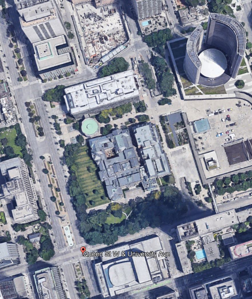
Among the projects discussed are several that relate collectively to the Bloor-Danforth Modernization Project (Line 2) that was originally proposed when Andy Byford was CEO. It was always a report that was “coming soon” to the Board, but after Byford’s departure, references to it vanished without a trace. I will return to the collection of BD Modernization projects later in this article.
A major problem for decades with TTC capital planning was that many vital projects simply were not included in the project list, or were given dates so far in the future that they did not affect the 10-year spending projections. This produced the familiar “iceberg” in City capital planning where the bulk of needed work was invisible.
The problem with invisibility is that when debates about transit funding start, projects that are not flagged as important are not even on the table for discussion. New, high-profile projects like subway extensions appear to be “affordable”.
There is a danger that at some point governments will decide that the cupboard is bare, and spending on any new transit projects will have to wait for better financial times. This will be compounded by financing schemes, notably “public-private partnerships” where future operating costs are buried in overall project numbers. These costs will compete with subsidies for transit operations in general. Construction projects might be underway all over the city, but this activity could mask a future crisis.
Please, Sir, I Want Some More!
The current election campaign includes a call from Mayor Tory for added Federal transit funding including support for the Eglinton East and Waterfront East LRT lines, not to mention new vehicles of which the most important are a fleet for Line 2.
The Waterfront East project has bumbled along for years, and is now actually close to the point where Council will be presented with a preferred option and asked to fund more detailed design quite soon. This is an area that was going to be “Transit First”, although visitors might be forgiven for mistaking the 72 Pape bus as the kind of transit condo builders had in mind as they redeveloped lands from Yonge east to Parliament. Some developers have complained about the lack of transit, and the further east one goes, the greater a problem this becomes.
The Eglinton East extension to UTSC was part of a Scarborough transit plan that saw Council endorse a Line 2 extension with the clear understanding that money was available for the LRT line too. Generously speaking, that was wishful thinking at the time, and Eglinton East languishes as an unfunded project.
For many years, the TTC has know it would need a new fleet for Line 2 BD. The T1 trains on that line were delivered between 1995 and 2001, and their 30-year design lifespan will soon end. As of the 2021 version of the 15 year capital plan, the replacement trains were an “unfunded” project, and the project timetable stretched into the mid 2030s.
City budget pressures were accommodated a few years ago by deleting the T1 replacement project from capital plans. Instead the TTC proposed rebuilding these cars for an additional decade of service. This would stave off spending both on a new fleet and on a new carhouse, at the cost of assuming the trains would actually last that long. The TTC has found out the hard way just what the effect of keeping vehicles past their proper lifetime might be, and that is not a fate Toronto can afford on one of the two major subway lines. The T1 replacement project is back in the list, but there is no money to pay for it.
Finally, a signature John Tory project is SmartTrack which has dwindled to a handful of GO stations, some of which Metrolinx should be paying for, not the City (East Harbour is a prime example). If we did not have to keep the fiction of SmartTrack alive, money could have gone to other more pressing transit needs.
When politicians cry to the feds that they need more money, they should first contemplate the spending room they gave up by ignoring parts of the network and by putting most if not all of their financial nest-egg into politically driven works. It does not really matter if Ontario has taken over responsibility for projects like the Scarborough Subway because one way or another the federal contribution will not be available to fund other Toronto priorities. The same is true of the Eglinton West LRT subway.
Any national party could reasonably say “we already helped to pay for the projects you, Toronto, said were your priorities”, but now you want more? A related issue for any federal government is that funding schemes must be fitted to a national scale, and other cities might reasonably complain if Toronto gets special treatment.
A Long Project List
- Bloor-Yonge Capacity Improvements
- Line 5
- Eglinton Crosstown LRT
- Eglinton Crosstown West Extension
- Eglinton Crosstown East East Extension
- Line 6 Finch LRT
- Line 1 Extension to Richmond Hill
- Line 2 Extension to Sheppard/McCowan
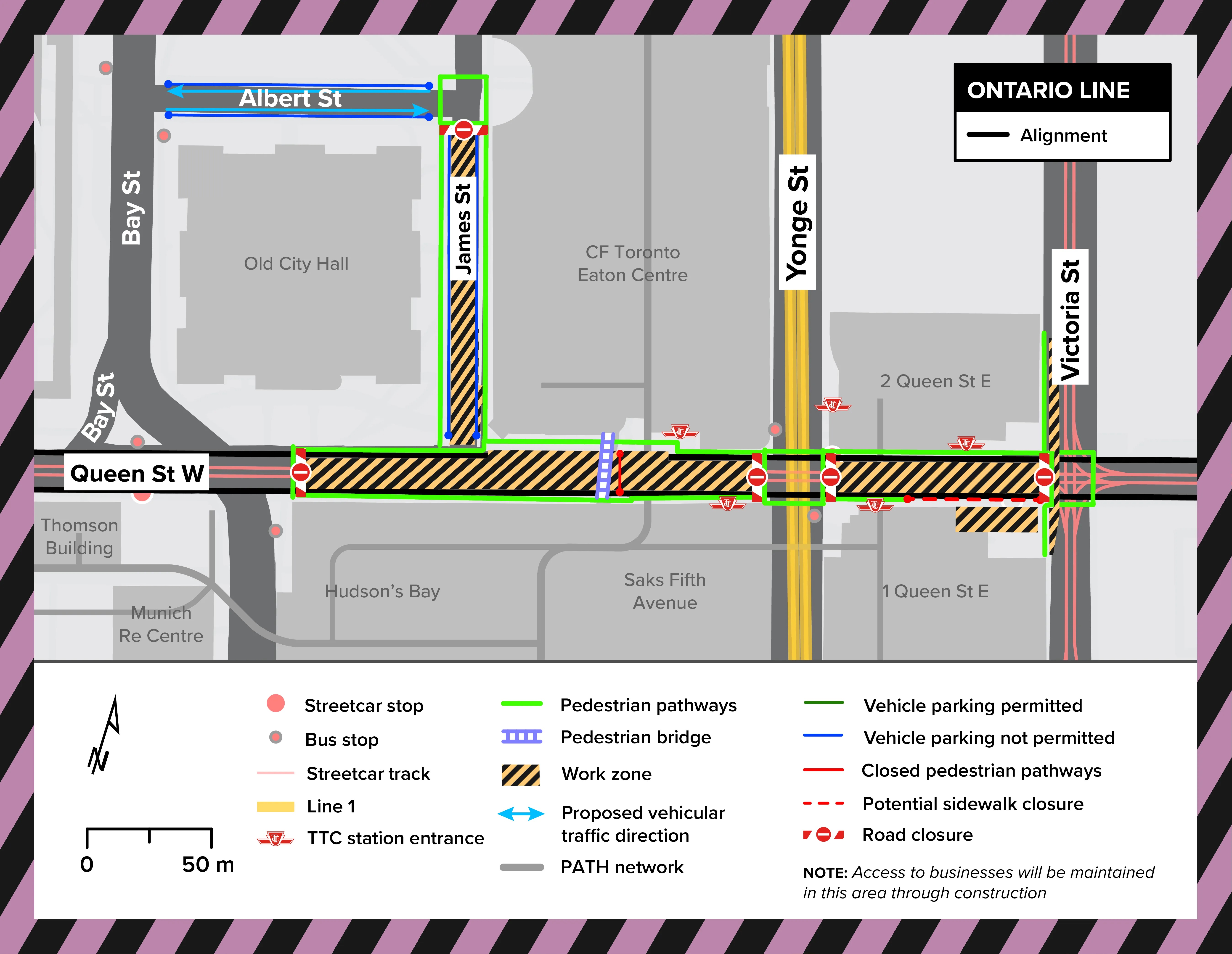
- Line 3 Ontario
- Waterfront Transit Network
- East LRT and station expansions
- West LRT from Exhibition to Dufferin
- BRT Projects
- Durham-Scarborough
- Dundas West
- Line 4 Sheppard Extension
- Transit Control Integration
- Subway Fleet Replacement (T1) and Expansion
- Fleet Storage
- Automatic Train Control
- Platform Doors
- Easier Access Plan
- Purchase of New Buses and Electrification