October 6, 2020: This article has been updated with information on the north section of the Ontario Line between Danforth and Eglinton (Pape to Science Centre).
September 29, 2020: This article has been updated with information on the east section of the Ontario Line between the Don River and Danforth.
September 23, 2020: This article has been updated with information on the central section of the Ontario Line between Osgoode Station and the west side of the Don River.
I asked Metrolinx a series of questions about information released in the two “neighbourhood updates”:
1. The station boxes that are shown are barely 100m long. What provision will the stations include for ventilation shafts? Will they be within the platform area or will they be beyond the end of the platforms as on, for example, the Crosstown line?
2. There is only minimal discussion of entrance locations. Will the stations include two separate paths from platform to surface as per fire code?
3. Will there be emergency service buildings between the more widely spaced stations to provide egress in case of a tunnel fire?
4. There is reference to using the space for lower Queen station as part of the design, but this area is (a) fairly small and (b) already used for a variety of purposes. Is the intent to have the OL go beneath all of the existing structure with the actual track and platform below lower Queen and with the “ghost” station space (which is already used in part as a pedestrian underpass between northbound and southbound platforms) only used for circulation space between the two lines? That would make a lot more sense than actually trying to take OL trains through the existing lower Queen Station.
5. The diagram of the Don Yard shows a direct conflict between the structure for the westbound OL portal and the Richmond Hill GO corridor. What is happening here?
In response, Metrolinx issued the following rather opaque reply:
Metrolinx will factor in all necessary safety and accessibility requirements into the Ontario Line designs. The most recent update is a more detailed vision of the project, but more details are still to come.
Metrolinx will be closely coordinating any Ontario Line work alongside our existing rail operations to minimize or avoid service impacts, while also respecting concurrent GO Expansion work.
Email from Scott Money, Metrolinx Media Relations
The original article begins here:
On September 17, 2020, Metrolinx released the Draft Environmental Conditions Report [Draft ECR] for the Ontario Line.
A huge volume of material is included, thousands of pages, but the vast majority of this only documents existing conditions and gives little indication of the actual “environmental impact” that building and operating the Ontario Line will have.
For convenience, here are links to source materials. The Draft ECR link leads to a page with many documents, some of which are very large PDFs.
- Ontario Line “Get Engaged” Page
- Ontario Line “Environment” Page
- Ontario Line “Procurement” Page
- Neighbourhood Update West
- Draft Environmental Conditions Report
- Metrolinx Blog: Zooming in on Ontario Line plans from Exhibition to Spadina
- Metrolinx Blog: Updated Ontario Line plans from the Don River to Gerrard: Maximizing space within the existing GO rail corridor
- Metrolinx Update to City of Toronto, September 2020
- The Ontario Line – Neighbourhood Updates – Downtown
- The Ontario Line – Neighbourhood Updates – East
- [New] The Ontario Line – Neighbourhood Updates – North
Jump to section-specific discussions:
- Exhibition to Queen/Spadina
- Osgoode to Don River
- Don River to Danforth
- Danforth to Eglinton
- General Issues
It is self-evident that the actual impact of any project cannot be known without the details of what will be built. This information is not yet public and only sample area maps which are drafts “for illustrative purposes only” have been released for a portion of the route. More will follow in coming weeks, but one must ask why they are not all available now if Metrolinx expects informed comment on their proposal.
Even on the supplied maps, many key features are missing including:
- Vertical and horizontal alignment including property requirements for construction
- Station sites, access and circulation plans including redundant paths between platforms and the surface for fire safety
- Emergency service buildings and access structures to tunnels
- Utility buildings such as substations
During the public consultation process and as recently as the April 2020 report summarizing this work, the project timeline was illustrated as below. This clearly shows that only one set of “Environmental Reports” were to be published and this was expected in Fall 2020, that is to say, now.

Ontario changed the legislation relating to Environmental Assessments with the effect that the item of most interest — the actual design and effect of the project — will not be known until later in the process than the public originally expected.
As required under O. Reg. 341/20, Metrolinx is preparing an environmental conditions report, which will be published for public review and input prior to finalization. The report will characterize the environmental setting in the vicinity of the Ontario Line, including existing noise and vibration levels, air quality, natural environment features, built heritage and archaeological resources, socio-economic and land use features, and traffic conditions.
Metrolinx is also planning to publish early works reports for components of the Ontario Line project that are planned to proceed to implementation ahead of completion of the Ontario Line assessment process.The early works reports will assess the environmental impacts of the early works and describe associated mitigation measures. The early works reports will be published for public review and input prior to finalization.
Following finalization of early works reports, Metrolinx will publish an environmental impact assessment report, which will assess the environmental impacts of the Ontario Line and describe associated mitigation measures. The environmental impact assessment report will be published for public review and input prior to finalization,as part of Metrolinx’s effort to meet the best practices and community consultation principles that are part of the Environmental Assessment Act with all projects. This will be followed by early works reports and the Environmental Impact Assessment Report environmental impact evaluation results, mitigation measures, monitoring activities, potentially required permits and approvals and other components.
Source: Metrolinx Update to City of Toronto, p. 13
There are now three streams of reports and consultation. First up is the ECR which has just been issued, but separately there are reports on “Early Works” (design and construction that can get underway to advance the project before the full design is locked down) and then the “Environmental Impact Assessment Report”. It is only in the last report that the details of design and effects on neighbourhoods will be revealed, and this is planned for winter-spring 2021.

On a parallel track, the procurement process is already underway with teams short-listed to bid on two major contracts:
- Rolling Stock, Systems, Operations and Maintenance (RSSOM)
- Southern Civil, Stations and Tunnel (Exhibition to Don Yard Portal)
The Northern Civil, Stations and Tunnel package (Don Yard Portal to Eglinton) will be tendered separately in 2022.
The ECR contains material reviewing conditions in a wide study area shown in the map below.
The study area is relatively wide in some areas, but narrower in others implying that a range of options was reviewed for parts of the route. Notable by its absence is the original Eastern-Pape corridor for the Relief Line showing that there was never any intention of entertaining this as an option, if only for comparative purposes.
The study area in Thorncliffe/Flemingdon is fairly large in part because this includes the proposed maintenance yard, but also because alternative routes through this area were under consideration.

Alignment plans are shown only for the western segment between Exhibition and Queen/Spadina at this point. Metrolinx plans to unveil details of additional segments on a weekly basis for other parts of the line:
- Osgoode Station to Don Yard
- East Harbour to Pape South
- Pape North to Science Centre (Eglinton)
They have published details for the first segment in a blog article as well as on the West Neighbourhood page (both linked above). I will update this article as information on these segments is revealed.
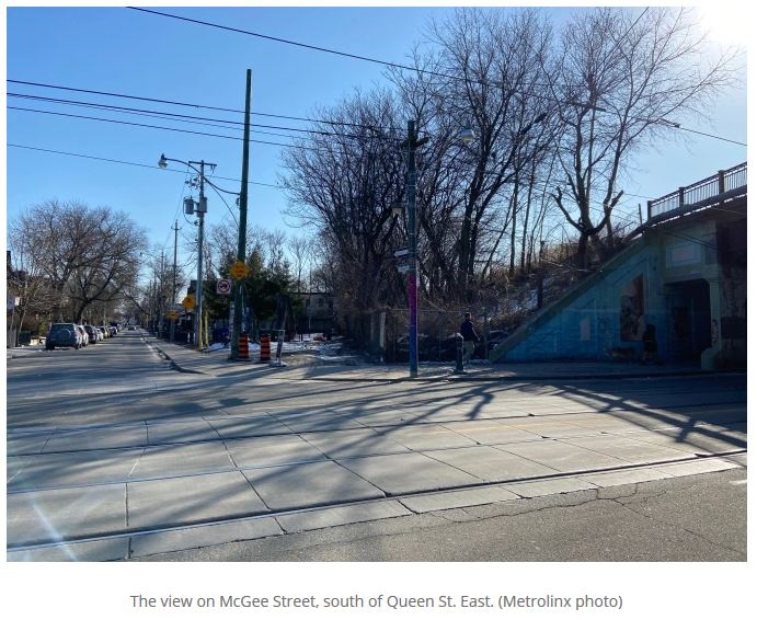
One burning issue in the third segment is the alignment through and effects on the South Riverdale and Leslieville area between East Harbour and Gerrard Stations. Although details on this have not been published, there is a note in a recent Metrolinx report to City Council (linked above) about the area just north of Queen Street where a recreation centre stood in the line’s path.
Continue readingThe Ontario Line team is working with City staff to ensure the project is delivered with minimal impacts to sensitive community areas and properties, such as parks and community centres. For example, following significant design and engineering effort, the station at Riverside/Leslieville has been positioned to avoid impacting Jimmie Simpson Community Centre. Efforts are underway to minimize impacts to other key community assets, including, Pape Avenue Middle School, Valley Park Middle School, Bruce Mackey Park, the future Ordnance Park, places of worship and other locations. Where an impact cannot be avoided the team will continue to work with City staff to address continuity of programming.
Source: Metrolinx Update to City of Toronto, p. 13